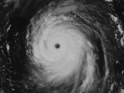
Hurricane Katrina

Hurricane Katrina (2005) ranks as the costliest hurricane in U.S. history, with damages reaching $108 billion unadjusted for inflation. This model shows the storm at maximum intensity in the Gulf of Mexico on Aug. 28, 2005. It was developed by processing visible and thermal infrared images from NOAA's GOES 12 satellite acquired at 12:45 p.m. CDT (1745 UTC). At this moment, Katrina was a Category 5 storm on the Saffir-Simpson Hurricane Scale, with maximum sustained winds of 175mph (280 km/h). The storm's center was located at 26.5° N and 88.6°W, or 255 miles (410 km) south-southeast of New Orleans, Louisiana.